Drone Survey
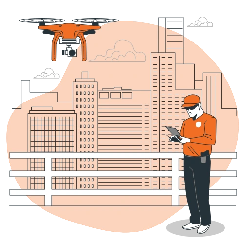
Drone Survey results give the most crucial assessment, strategy, management information. By minimizing the amount of time spent on land, drone surveys make surveying affordable, safe and operational decisions easy. Owing to their excellent resolution, accuracy, and climatic circumstances, Drone surveys can give data on various locations that aren't observable from the land. Our Drone Survey includes.
More Services- Road Survey
- Land Survey
- Industrial Progress Monitoring
We provide National Highway Aerial Inspection services using advanced drones equipped with modern RGB and Thermal Sensors, allowing us to build topographical and contour maps as well as 2D and 3D models. We examine the infrastructure of highways and roads in detail, looking for pits and cracks, power lines, guard rails, divisions, dividers misalignment, soil elevation, and other issues. As compared to conventional approaches, our Precision Drones capture greater topographical information and level of contours.
Drone Inspection
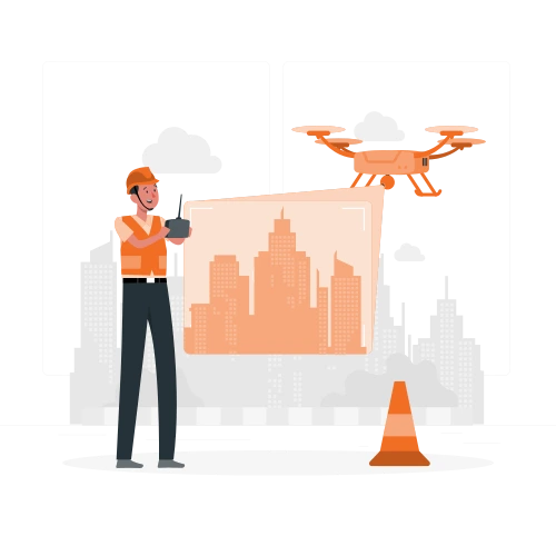
Drone technologies have helped the industrial sector restore security, predict catastrophe, and maximize a constructor's plan to its most desired condition. Aerial Drone Inspection speeds up data collection in difficult-to-reach places, lowers hazards and expenses, and minimizes the number of people on the job. A certified drone pilot conducts drone inspection with Drones equipped with advanced sensors like RGB and Thermal Sensors aid in detecting visual faults and breakage in flaring plumes, chimney, lines, and crude leaks.
More Services- Solar Panel Thermal
- Wind Turbine
- Power line
- Electrical Thermography
- Stockpile
Via our revolutionary Drone Technology, we assist our solar plant customers to accomplish optimum efficiency, power capacity, and a quicker return on investment for their solar power plants. Drone analytics helps our customers detect cellular malfunction, solar cell degeneration, decreases in operating performance, and other issues. For excellent inspection service, our Drones are fitted with advanced thermal sensors.

Drone Mapping
Drone mapping has a lot of upsides for GIS specialists. Through the usages of advanced drones, we can conduct topographical surveys of the same high quality as traditional methods, but in a fraction of the time. This significantly minimizes the expense of a site survey and the burden of field professionals. Building, civil, transportation, industrial, and utility infrastructure projects are all influenced by land acquisition and site planning. 2D /3D GIS mapping and Architectural Modelling are part of our mapping solutions.
More Services- 2D/3D Orthomosaic
- Point Cloud
- Surface Model
- Terrain Model
- Contour Mapping
Orthomosaic creates highly accurate maps of the given area whether 2D or 3D it gives more detail that conventional satellite maps, we use high-end photogrammetry software's to create the GIS maps.
Aerial Cinematography
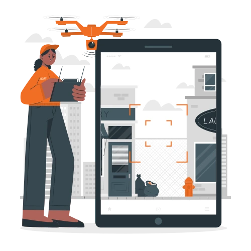
films and photographs everywhere in India. Our experienced drone operators are unquestionably capable of producing fantastic drone images since they understand the skills and innovation necessary. We translate aerial filming into the incredible service which our clientele expect. Our specialty is- 4k Video & High-resolution Imagery and 360* Imagery.
Precision Agriculture
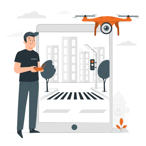
Agricultural drones are unmanned aerial vehicles that optimize agriculture operations, crop production, and crop growth monitoring. Farmers can better image their fields using sensors and digital photography. Using an agriculture drone to collect data and improve crop yields and farm efficiency might benefit.
More Services- Plant monitoring
- Spectral Analysis
- L.A.I
- Biomass Calculation
- Thermal Analysis
Our skilled drone operators can collect precision data that may be used to measure and quantify agricultural damage caused by unanticipated catastrophes such as flooding, wildfires, infestations, and climate disasters. Farmers may use data from modern sensors depicted as 2D or 3D Orthomosaics to better understand and identify new ways to boost agricultural yields while reducing damage to crops.
Drone Training
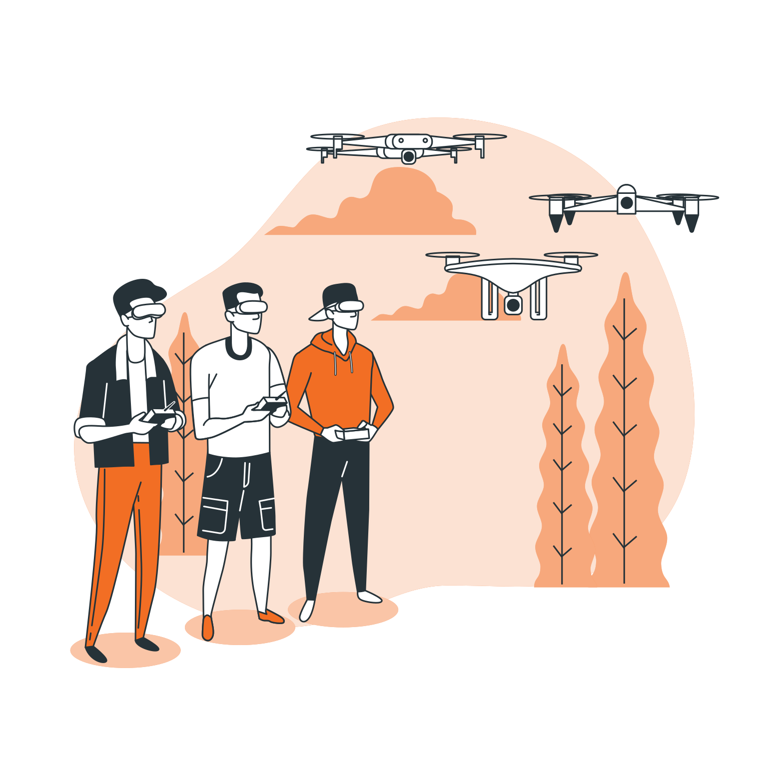
At Soaring Aerotech, we offer Drone Pre-Pilot Training Program; with the assurance of the most extraordinary drone pilot training in India, you can glide towards your drone aspirations. Our skilled and trained staff of specialist trainers is dedicated to helping you reach new heights. With our substantial fieldwork and foundation, you may discover your passionate enthusiasm for drone aviation. Our efficient drone networks broaden your options in the field of drone technological capabilities.Our drone pre-pilot training is a 5 days drone pilot training consisting of theory + practical flying sessions, to familiarize with the systems, components & piloting basics of a drone, we are making young enthusiasts ready for a licensed pilot training with all the basic knowledge required to carry out drone operations with appropriate safety standards.
